

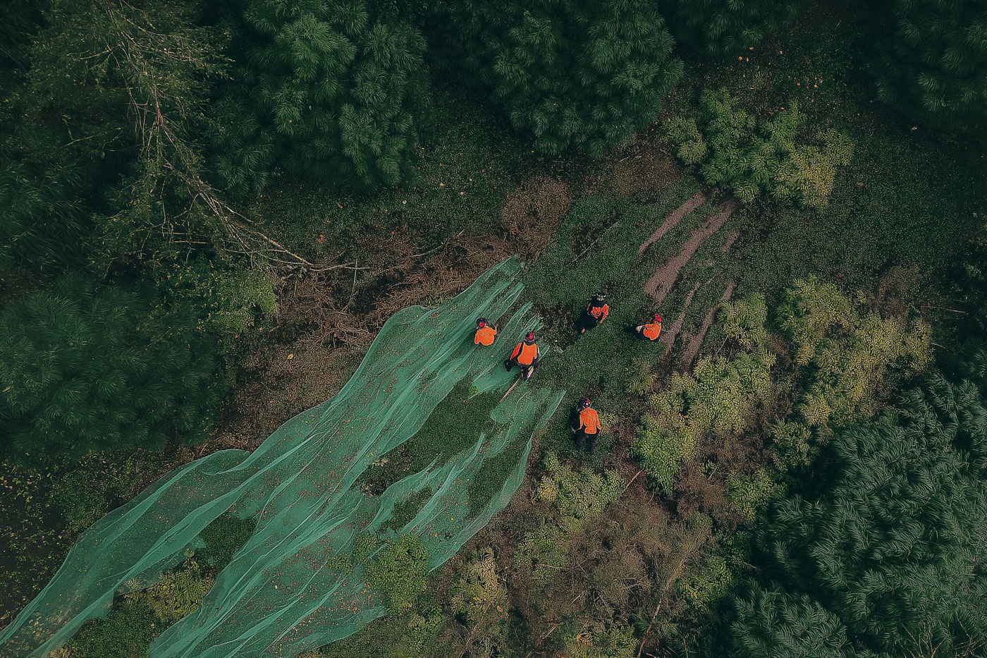
Search and Rescue
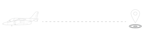
Tetra enables search and rescue teams to create a virtual fence around the search area, track each other’s location in real time, and communicate effectively to coordinate their efforts. If they find any clues or potential leads, they can instantly share them with the entire team, ensuring everyone is on the same page and no stone is left unturned.
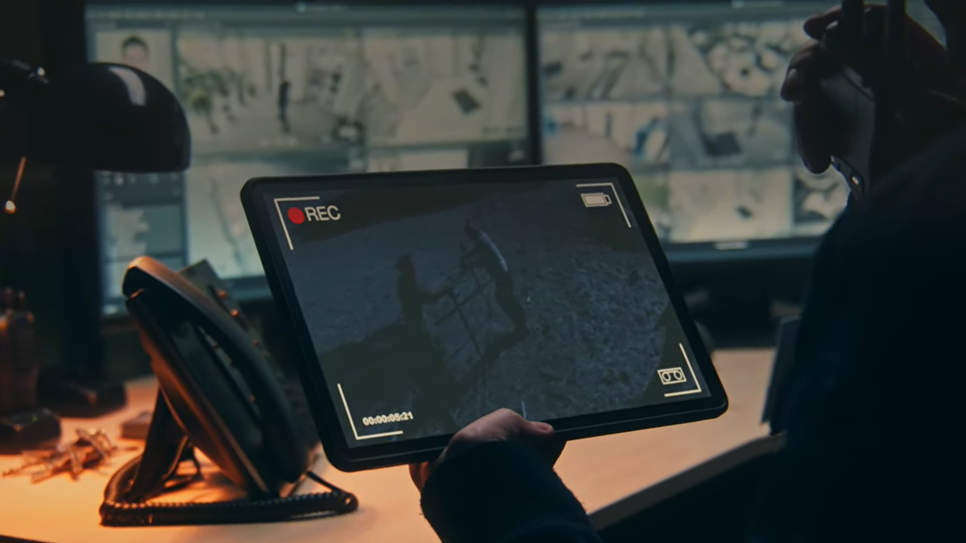
Security
Through Tetra’s asset management platform, security teams are able to monitor personnel, track assets, and respond swiftly to incidents. By tracking security guards, monitoring access points, and sharing information about security threats, Tetra enhances the security and safety of facilities and personnel.
Fire Detection and Prevention
Tetra supports firefighting operations by providing real-time tracking of wildfires, facilitating resource coordination, and enabling effective communication among teams. Empowering teams to share and respond to critical information about fire hazards, our field operations management system helps firefighters take proactive and preventative measures, and minimize the impact of fires.

Disaster Management
Tetra facilitates coordinated disaster relief efforts by enabling the tracking of affected individuals, efficient distribution of aid, and effective communication among responders. Our asset management platform allows teams to share critical information on infrastructure damage and potential hazards, enabling authorities to prioritize response efforts and ensure resources are allocated where they’re needed most.